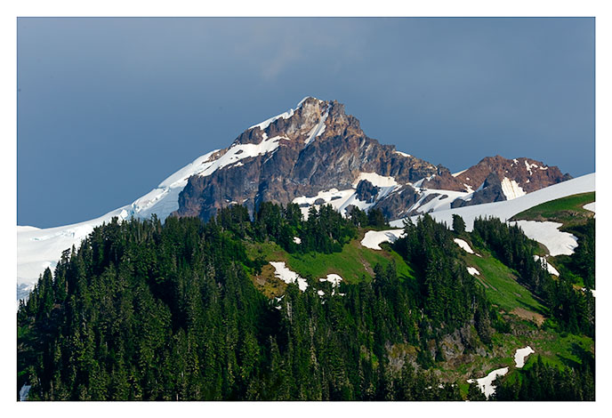
| Colfax Peak from Mt. Baker Vista |
|
Colfax Peak, a spur of Mt. Baker, telephoto shot. View from Mt. Baker Vista (approx. N48 48.416, W121 54.156). Mt. Baker, Washington.
|
Photo data
August 23, 2011
Nikon D700
200mm
Hand held
F13 1/500 second
ISO 200
|
|
| |
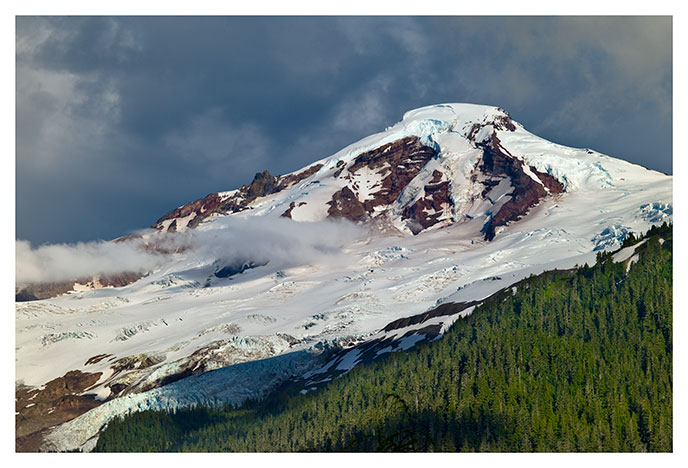
| Mt Baker 1 |
|
|
Mt. Baker amid the clouds, view from Mt. Baker Vista (approx. N48 48.416, W121 54.156). Mt. Baker, Washington.
|
Photo data
August 23, 2011
Leica M9
90mm Summicron
Hand held
F11 1/500 second
ISO 160
|
|
| |
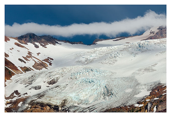
| Roosevelt Glacier, Mt Baker |
|
|
Roosevelt Glacier on Mt. Baker. View from Mt. Baker Vista (approx. N48 48.416, W121 54.156). Mt. Baker, Washington.
|
Photo data
August 23, 2011
Nikon D700
200mm
Hand held
F11 1/500 second
ISO 200
|
|
| |
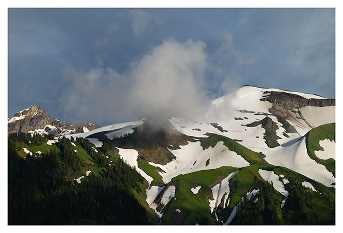
| Cloud Over Heliotrope Ridge |
|
Little cloud hovering over Heliotrope Ridge, Mt. Baker. View from Mt. Baker Vista (approx. N48 48.416, W121 54.156). Mt. Baker, Washington.
|
Photo data
August 23, 2011
Leica M9
90mm Summicron
Hand held
F8 1/725 second
ISO 160
|
|
| |
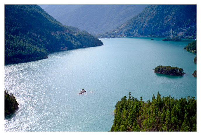
| Diablo Lake 1 |
|
|
Diablo lake, looking northwest towards Diablo Dam. View from the overlook on Highway 20, the North Cascade Highway (approx. N48 42.49, W121 5.72). Washington.
|
Photo data
August 21, 2011
Leica M9
50mm Summilux
Hand held
F8 1/4000 second
ISO 160
|
|
| |
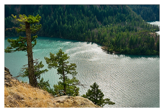
| Diablo Lake 2 |
|
Diablo lake, looking west. View from the overlook on Highway 20, the North Cascade Highway (approx. N48 42.49, W121 5.72). Washington.
|
Photo data
August 21, 2011
Nikon D700
20-70mm zoom, 42mm
Hand held
F11 1/500 second
ISO 200
|
|
| |
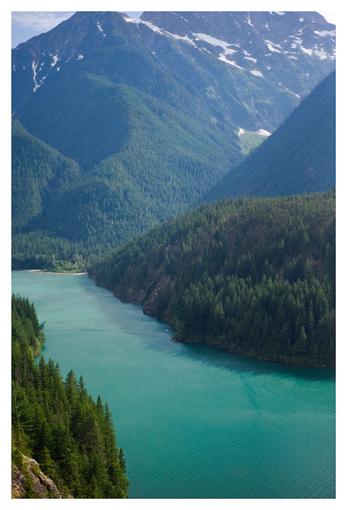
| Diablo Lake 3 |
|
Diablo lake, looking southwest toward El Dorado Peak. View from the overlook on Highway 20, the North Cascade Highway (approx. N48 42.49, W121 5.72). Washington.
|
Photo data
August 21, 2011
Leica M9
50mm Summilux
Hand held
F8 1/4000 second
ISO 160
|
|
| |
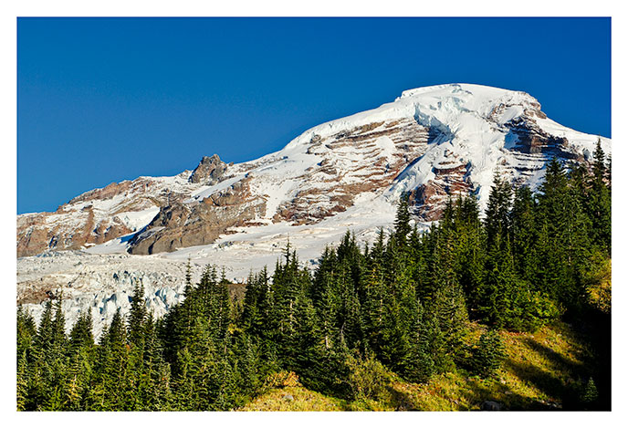
| Mt. Baker from Heliotrope Ridge |
|
|
View of Mt. Baker from Heliotrope Ridge, looking northwest. Some climbers are barely discernable beyonf the tree at the center of the photo.
|
Photo data
September 23, 2006
Nikon D2X
50mm
hand held
f9, 1/500 second
ISO 100
|
|
| |
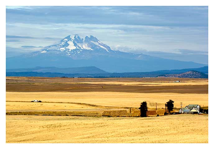
| Mt. Adams from Goldendale |
|
|
Cloudy view of Mt. Adams from the fields near Goldendale, Washington. View looking northwest.
|
Photo data
September 17, 2006
Nikon D2X
120mm
hand held
f16, 1/160 second
ISO 100
|
|
| |
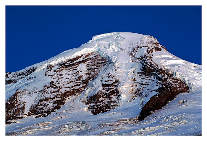
| Mt. Baker from Kulshan Overlook |
|
|
Evening View of Mt. Baker from Kulshan Overlook, Looking north.
|
Photo data
September 23, 2006
Nikon D2X
125mm
tripod mounted
f18, 10 seconds
ISO 100
|
|
| |
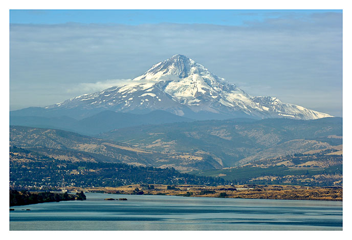
| Mt. Hood from the Dalles |
|
|
View of Mt. Hood from the Columbia River north of The Dalles, Oregon. View looking southwest.
|
Photo data
September 17, 2006
Nikon D2X
180mm
tripod mounted
f16, 1/100 second
ISO 100
|
|
| |
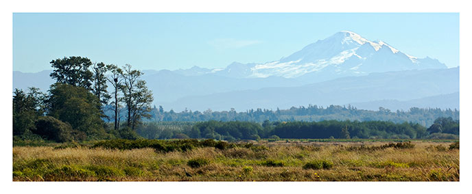
| Mt. Baker from Gooseberry Point |
|
|
View of distant Mt. Baker from the tide flats near Gooseberry Point, Washington. View looking northeast.
|
Photo data
September 24, 2006
Nikon D2X
110mm
hand held
f9, 1/500 second
ISO 100
cropped
|
|
| |
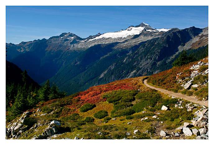
| Cascade Pass Looking North |
|
|
View of the trail below Cascade pass and El Dorado Peak. This is the view from the trail that starts at Johannesberg Camp, in the valley at the left center of the photo.
|
Photo data
September 26, 2006
Nikon D2X
28mm
hand held
f7.1, 1/640 second
ISO 100
|
|
| |
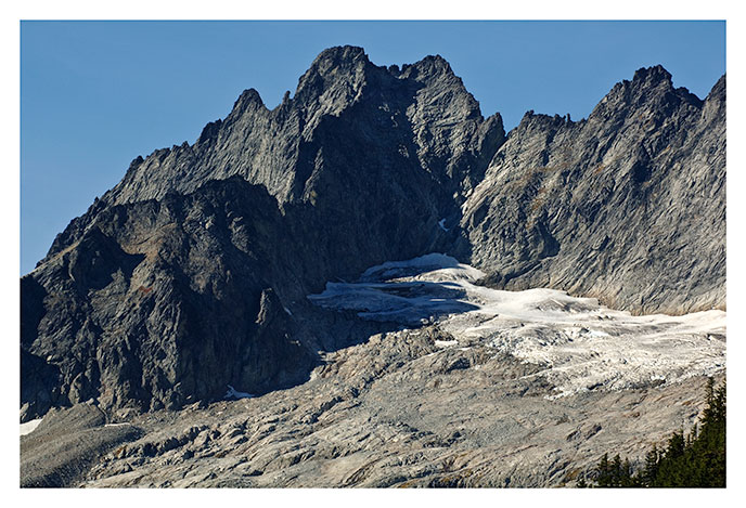
| Mt. Torment |
|
|
Mt. Torment from Cascade Pass, looking northeast.
|
Photo data
September 26, 2006
Nikon D2X
160mm
hand held
f9, 1/500 second
ISO 100
|
|
| |
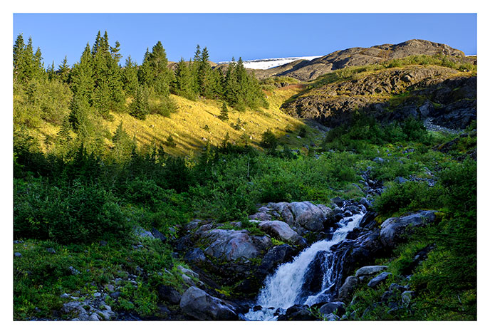
| Heliotrope Ridge |
|
|
Helioptrope Ridge on the south side of Mt. Baker, from the trail below the ridge.
|
Photo data
September 23, 2006
Nikon D2X
42mm
hand held
f7, 1/100 second
ISO 100
|
|
| |
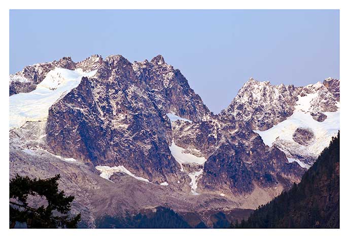
| Dorado Needle |
|
|
Twilight view of the Dorado Needle from the road to Johannesberg Camp.
|
Photo data
September 22, 2006
Nikon D2X
200mm
tripod mounted
f8, 0.8 seconds
ISO 100
|
|
| |
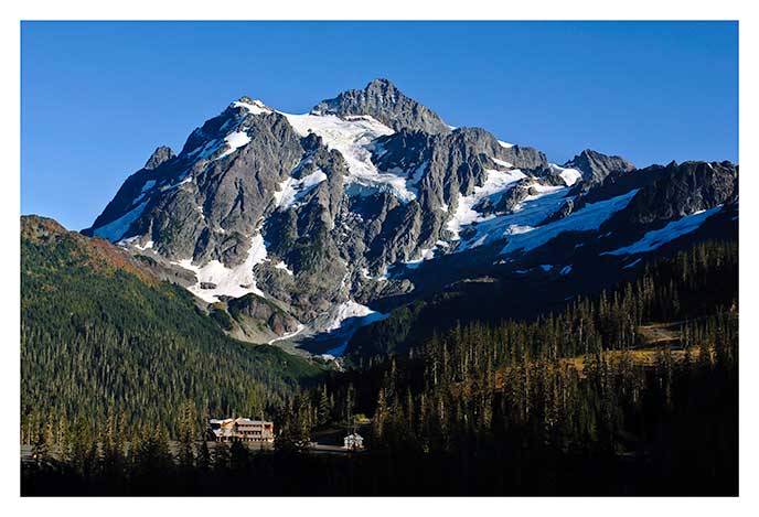
| Mt. Shuksan |
|
|
Mt. Shuksan and the Mt. Baker lodge from the Mt. Baker Highway.
|
Photo data
September 24, 2006
Nikon D2X
28mm
tripod mounted
f10, 1/320 second
ISO 100
|
|
| |
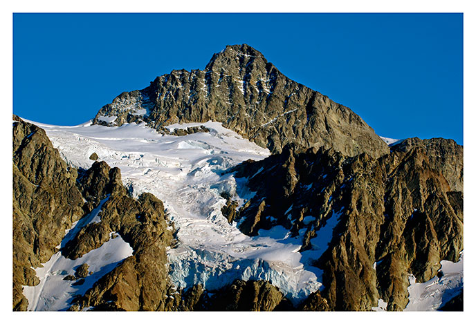
| Mt. Shuksan |
|
|
Late afternoon sunlight on the summit pyramid and hanging glacier of Mt Shuksan, Washington. This view from the Mt. Baker Highway.
|
Photo data
September 24, 2006
Nikon D2X
120mm
tripod mounted
f14, 1/100 second
ISO 100
|
|
| |
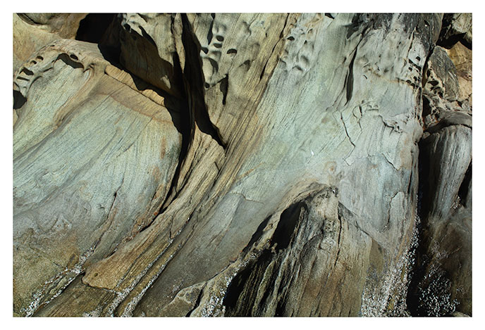
| Beach-weathered Sandstone, Larrabee Park |
|
|
Beach-weathered Chuckanut sandstone along the shore at Larrabee State Park, near Bellingham, Washington.
|
Photo data
September 25, 2006
Nikon D2X
42mm
Hand held
f18, 1/125 second
ISO 100
|
|
| |
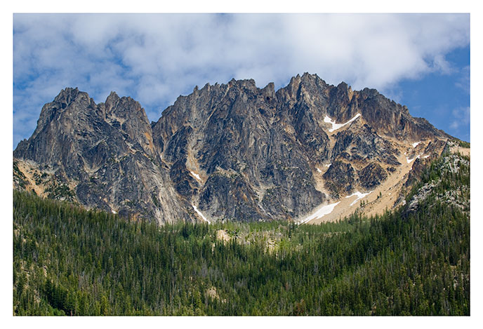
| Silver Star Mountain, North Cascades |
|
|
I think this is Silver Star mountain. If you're traveling west along the North Cascade Highway from Winthrop, Washington, it's visible to the southeast of the first big turnout (about 20 miles west of Winthrop).
|
Photo data
August 21, 2011
Nikon D2X
70-200mm, 70mm
Hand held
F7.1 1/320 second
ISO 100
|
|
| |
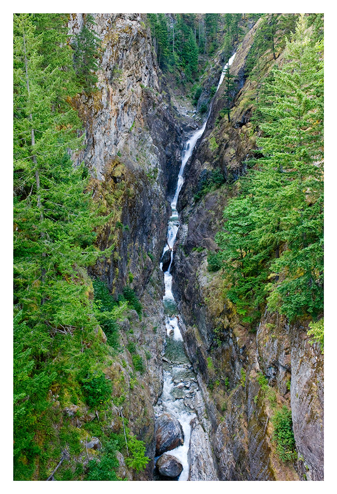
| Gorge Creek Falls, North Cascades |
|
|
Gorge Creek Falls, view from a bridge on Highway 20, the North Cascade Highway (approx. N48 42.056, W121 5.72). Washington.
|
Photo data
August 21, 2011
Nikon D700
28-70mm zoom, 28mm
Hand held
F11 1/80 second
ISO 1600
|
|
| |
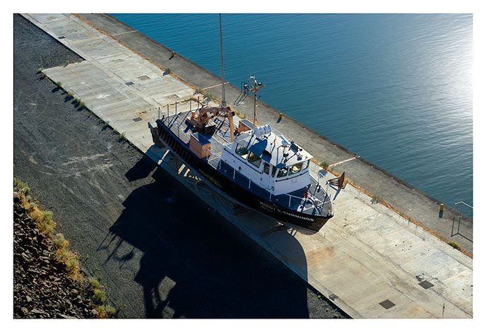
| Beached Boat, Columbia River, the Dalles |
|
|
Dry-docked boat near The Dalles Dam on the Columbia River. View from the bridge at The Dalles Dam (approx. N45 36.659, W121 8.447). The Dalles, Oregon.
|
Photo data
August 21, 2011
Nikon D700
28-70mm zoom, 70mm
Hand held
F11 1/500 second
ISO 200
|
|
| |
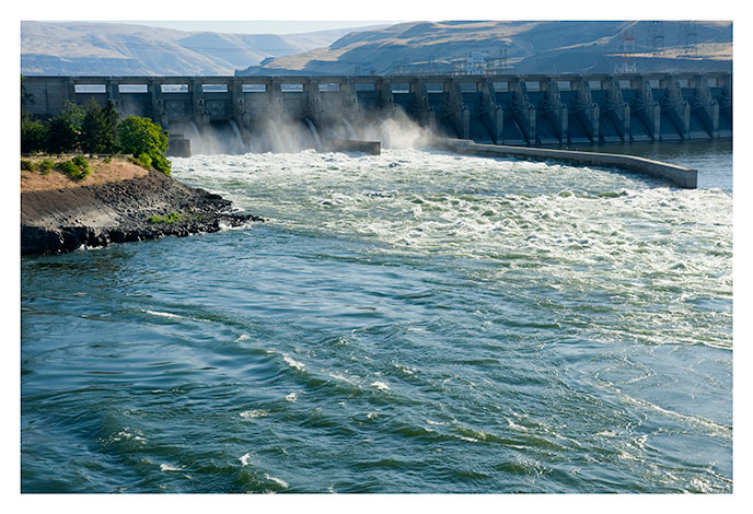
| The Dalles Dam, Columbia River |
|
The Dalles Dam on the Columbia River, early morning, looking east. View from the bridge (approx. N45 36.659, W121 8.447). The Dalles, Oregon.
|
Photo data
August 20, 2011
Nikon D700
28-70mm zoom, 62mm
Hand held
F11 1/400 second
ISO 200
|
|
| |
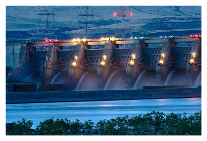
| The Dalles Dam At Night |
|
|
The Dalles Dam on the Columbia River, night time. View from the south side of the river below the dam. The Dalles, Oregon.
|
Photo data
August 20, 2011
Nikon D2X
70-200mm zoom, 200mm
Tripod mounted
F11, 30 seconds
ISO 100
|
|
| |
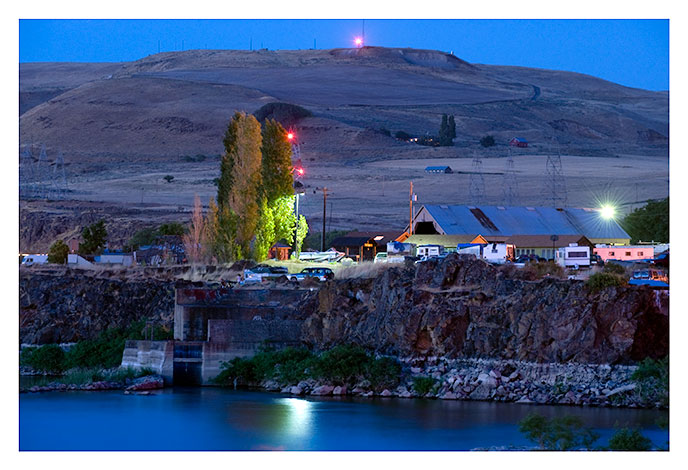
| Night View, the Dalles |
|
Night view of The Dalles near Dallesport, south side of the Columbia River. The Dalles , Oregon.
|
Photo data
August 20, 2011
Nikon D700
70-200mm zoom, 200mm
tripod mounted
F11, 30 seconds
ISO 800
|
|
| |


